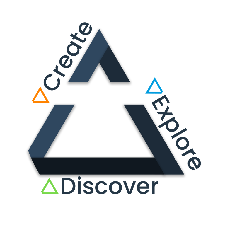


Gather the latest data from space, air, ground, and underwater sources to create a complete and comprehensive profile of your assets.

Virtually fly, drive, walk and explore your assets, infrastructure and new places in 3D, either on your own or with your remote teams anytime, anywhere.

Discover changes, patterns, and anomalies in terrain and critical infrastructure using our AI engine, 24/7.


Each of these sources can produce visual data such as, realistic, ultraviolet and infrared images, and layer on radar, lidar and sonar elevation data.


After data integration, comes exploration.
Virtually fly, drive, walk and explore your assets, infrastructure and new places in 3D, either on your own or with your remote teams anytime, anywhere.
Recreate the parts of the world that are important to you using first-person 3D navigation that allows you to go back in time to compare various moments in time to quickly identify changes.
Work on your own or with remote teams, providing mark-ups, comments and analysis to ease collaboration and brainstorming.

As you explore, discover new insights that lead to better, faster decisions about critical assets, infrastructure and areas of interest.
Discover, detect and predict changes relevant to your operations using Terris’ built-in AI.
It persistently scans 24/7 so you don’t have to deploy costly equipment and flyovers to check for changes, anomalies and patterns, such as building changes and vegetation encroachment.
Answers and insights available whenever and wherever you and your team need them.
