Monitor Your Assets On-Demand from Space

Monitor your critical infrastructure and assets and look for new opportunities anywhere on earth, on-demand.

Integrate

Integrate the latest data from space, air, ground, and underwater sources to provide a complete and comprehensive profile of your assets. 

Explore

Virtually fly, drive, walk and explore your assets, infrastructure and new places in 3D, either on your own or with your remote teams anytime, anywhere.

Discover

Discover changes, patterns, and anomalies in terrain and critical infrastructure using our AI engine, 24/7.

Where We Help

WhereWeCanHelp_SolarPanels

Critical Infrastructure & Asset Monitoring

Persistently monitor your assets, day or night in any weather condition to anticipate potential impacts and changes before they happen.
    • Rail lines
    • Electric power lines
    • Gas pipelines
    • Solar/wind farms
    • Forestry
    • Agriculture
    • Decommissioned mine sites
    • Property assessment

Remote Land Exploration

Virtually identify opportunities for development and assess viability before ever putting people on the ground.
    • Renewable energy development
    • Climate impact assessment
    • Coastal monitoring
WhereWeCanHelp_AerialLandscape

Remote Land Exploration

Virtually identify opportunities for development and assess viability before ever putting people on the ground.
    • Renewable energy development
    • Climate impact assessment
    • Coastal monitoring

Advancing Technology with Purpose

We contribute at least one percent of annual sales to local environmental causes as part of this global alliance of businesses financially committed to creating a healthy planet.

As a certified B Corp, we embrace positive impact on all employees, clients, society, and the environment with one goal in mind: to build a more inclusive and sustainable economy.

We are actively working on three of the 17 SDGs, the global call to action to support greener, more inclusive economies, and stronger, more resilient societies.

Insights

May 31, 2022

3D provides the most accurate view of the highs and lows of any place on earth including rural and remote regions

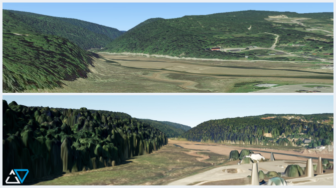
Height data in a 3D image can provide key visual information to help determine whether an area is accessible and appropriate for development.
April 22, 2022

Spatial resolution helps you measure what matters to your business

Spatial resolution defines how much of the real world fits into the frame of a single digital pixel. In the commercial marketplace the higher the level of clarity, the higher the cost, which is why it’s critically important to understand what amount of spatial resolution you need to measure what matters to you.
April 6, 2022

Oksana Tesla leads diversity, inclusion and justice for Terris and for her homeland Ukraine

There are some people you meet for the first time and it just clicks. That’s how it went for Norm and I after we interviewed Oksana Tesla for a short-term internship back in 2020.
March 23, 2022

The price for high-resolution satellite imagery is falling fast – and customers are reaping the benefits

The skies above us will be filled with well over 1,200 earth observation satellites this year that will provide image quality previously only achievable from aerial platforms, at a fraction of the cost.